Utilizing Crash Data to Improve Street Safety
Arlington County is tracking, mapping, and utilizing crash data to make road safety improvements to help you feel safe while traveling on the streets, trails, and sidewalks.
At a joint meeting with the Pedestrian Advisory Committee (PAC) and Bicycle Advisory Committee (BAC) this spring, County staff members talked about the work being done to address high crash areas. We wanted to learn more about how this data is being used, so we met with Arlington County’s design engineer, Sergio Viricochea, to get more insight.

The Process
Traffic crashes do not need to be an accepted part of our daily lives, and the County is actively working to make that a reality.
Collecting Crash Data
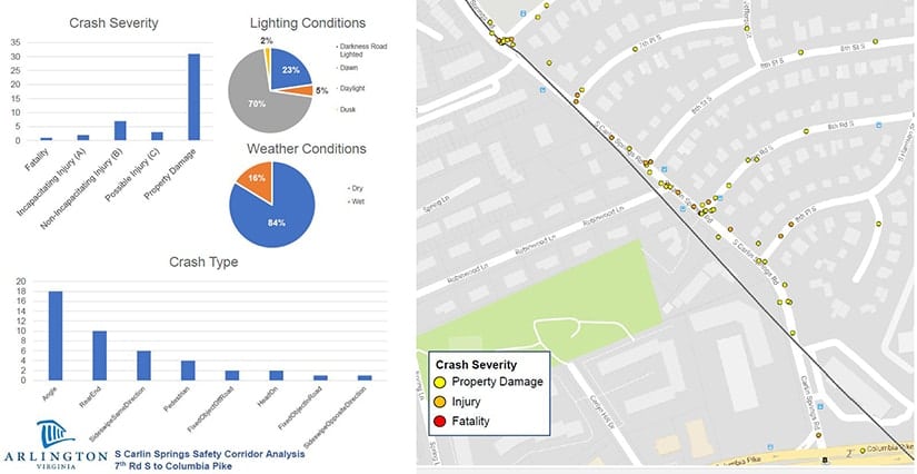
Design engineers are working to ensure everyone remains safe by drawing upon lessons learned from previous crash statistics. Each time police are called to the scene of a crash, a report is written. The DMV receives the report that includes information related to traffic conditions, actions of individuals involved in the crash, and other relevant factors and records the data into an interactive map.
Identifying the Hot Spots
National standards exist to guide decisions regarding road safety best practices, but in general, any area with more than five crashes per year would be marked as “high crash”. Sergio’s team overlays past crash information onto the County map which helps them identify the high crash “hot spots” and identify changes needed in the area to avoid future collisions.
The goal is to review at least the previous three years of reported crashes before updating street markings or signage. This data doesn’t take into account near misses. However, anyone can report a concern which will then be flagged to further investigate.

Implementation of Road Safety Improvements
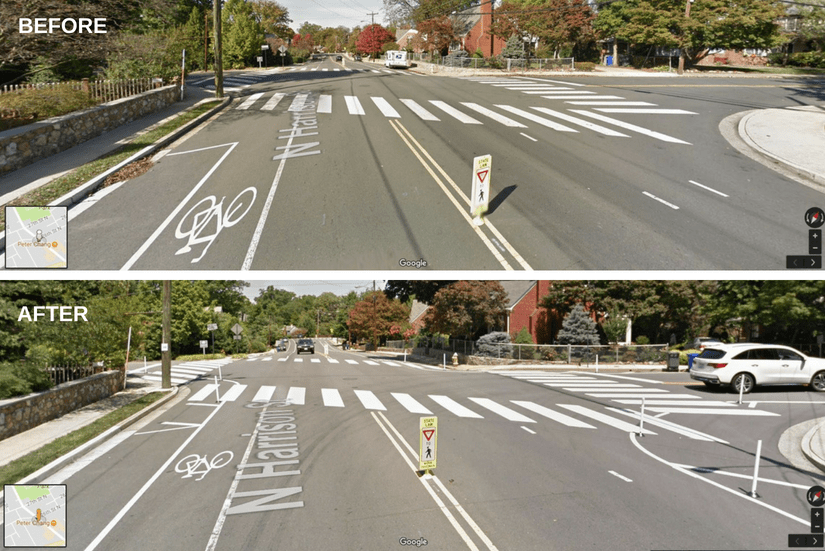
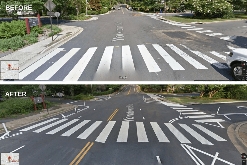
The data is also used to make recommendations for future design proposals or to improve existing infrastructure. The County recently implemented some low-cost and low-maintenance road improvements based on what the team learned from the data related to crashes at these locations.
North Harrison St at 26th St N

George Mason Dr at Yorktown Blvd

To see a complete list of projects happening across Arlington, visit my.arlingtonva.us.org or download the MyArlington app from the Apple Store or Google Play.
Photo Credits
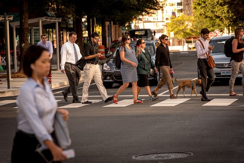
Feature photo: Sam Kittner/Kittner.com
Project photos: Arlington County Department of Environmental Services


Comments are closed here.
To prevent spam, comments will be approved before appearing on the post. If you have a comment or question, but do not want it to be published, please email WalkArlington.